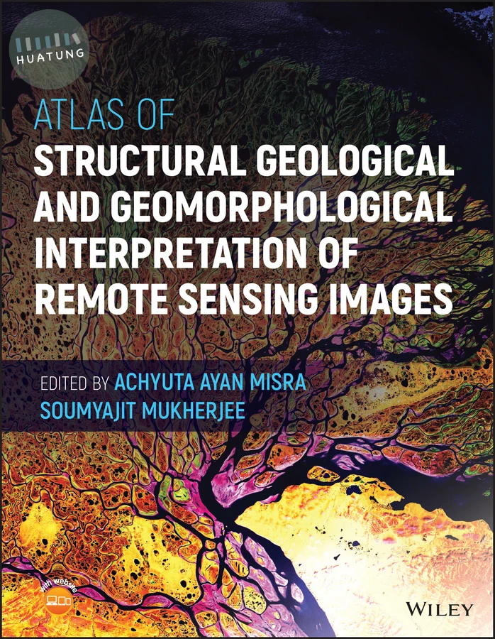

Atlas of Structural Geological and Geomorphological Interpretation of Remote Sensing Images
$5561元 定價: $6179 9折 可訂購
簡介
ATLAS OF STRUCTURAL GEOLOGICAL AND GEOMORPHOLOGICAL INTERPRETATION OF REMOTE SENSING IMAGES An extensive compilation of case studies in structural geology and geomorphology for interpreting remotely sensed images In the Atlas of Structural Geological and Geomorphological Interpretation of Remote Sensing Images, a team of experts delivers an extensive collection of over 20 different examples of structural geological and geomorphological studies by remote sensing. The book demonstrates how to properly interpret geological features and gather robust and reliable information from remote sensing images. This atlas contains high-quality colour images that depict a diversity of structures and geomorphic features from different tectonic regimes and geographic localities in the Americas, Europe, and Australasia. While its primary emphasis is on structural geology, geomorphology is considered in some depth as well. The examples also cover geological hazards, including volcanic eruptions and earthquakes. Readers will also find: A thorough introduction to the background of remote sensing, including foundational concepts and the classification of remote sensing based on data type, source, platform and imaging media
Comprehensive discussions of geomorphology, including explorations of lava fissures, badlands and beaches
In-depth explorations of structural geology, including discussions of deformation bands, fault lines and earthquake effects
Several examples of how to trace hydrological processes such as glacier retreat, changes in drainage patterns and bar formation
Perfect for advanced students and researchers in the geoscience community, Atlas of Structural Geological and Geomorphological Interpretation of Remote Sensing Images will also earn a place in the libraries of practicing professionals with an interest in the interpretation of remote sensing images.
目錄
Section A: Background
Introduction to “Atlas of Structural Geological and Geomorphological Interpretation of Remote Sensing Images”
Remote Sensing Fundamentals
Classification of Remote Sensing Depending on Data Type, Source, Platform, and Imaging Media
Section B: Geomorphology
Geodynamic Quantification of Mid-Channel Bar Morphology: A Spatio-Temporal Study
Geomorphic Indicators of Glacier Retreat from Jorya-Garang Glacier of Baspa Valley, Himachal Pradesh, India
Aerial Views of the 2018 Kilauea Eruption, Hawaii, U.S.A.
Depositional Systems – An Overview Via Google Earth
The Lateritic Badlands of Garbeta (West Bengal, India)
Geomorphology Along the West Coast of India, Through Remote Sensing
Fluvial Geomorphology in a part of the Spiti River Basin, Himachal Pradesh, India
Section C: Structural Geology
Deformation Bands Mapped in the Miocene Sandstone-Dominated Outcrops, Sengkurong, Brunei Darussalam, SE Asia
Disaggregation Deformation Bands Dominate the Trapping and Sealing Process at The Lion King Fault Zone, Brunei, SE Asia
Surface Deformation Along Katrol Hill Fault, Kachchh, Evidenced by Satellite and DEM Data
Tectonics, Fault Zones, and Topography in the Alaska-Canada Cordillera with a Focus on the Alaska Range and Denali Fault Zone
Use of Remote Sensing in Lineament Analysis
Tectonic Structures Interpretation using Airborne-Based LiDAR DEM on the Examples from the Polish Outer Carpathians
Spatial Variability of Tectonic Influences on Drainage Networks
Archival Airborne Visible/Infrared Imaging Spectrometer (AVIRIS) Image of Faults in a Mixed Carbonate-Clastic Succession, Northwestern Spring Mountains, Nevada, USA
Coseismic Surface Rupture and Related Disaster During the 2018 Mw 7.5 Palu Earthquake, Sulawesi Island, Indonesia
Structural and Alteration Mapping using ASTER imagery and DEM for Gold Mineralization in the Gadag Schist Belt of Karnataka, India
Identifying Subtle Deformation Structures from Satellite Images in Parts of the Mesozoic Kachchh (Kutch) Basin, Kachchh District, Gujarat, India
Lineament Analysis in a Part of the Son River Valley, Madhya Pradesh, India
Meso Scale Sinistral Shear, Eastern Dharwar Craton, Telangana, India
Regional Polyclinal Fold with Faulted Limbs, Rajasthan, India
Drainage Architecture and Bar Formation of the Rangit Tributaries, Darjeeling-Sikkim Himalaya, India