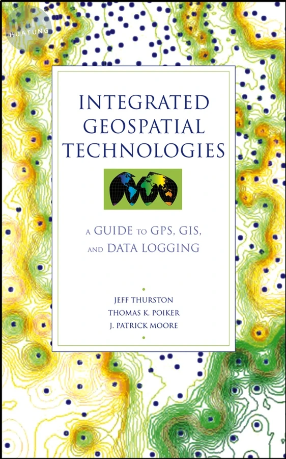
Integrated Geospatial Technologies
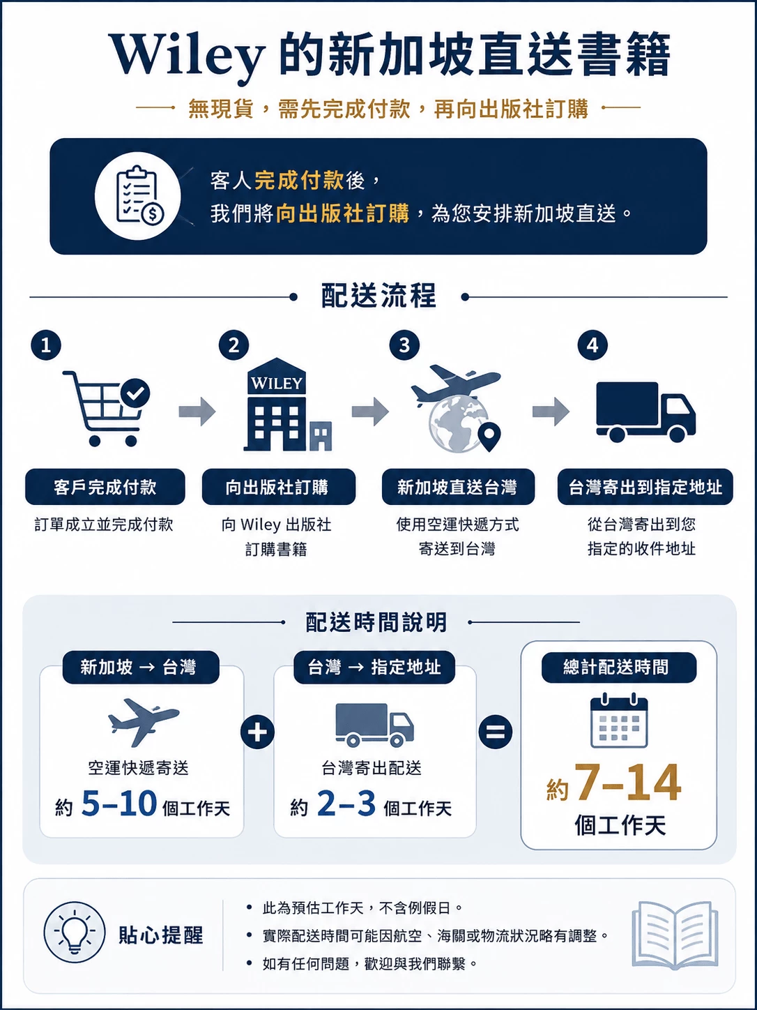
$5079元可訂購
簡介
Discusses the underlying theory of GPS and GIS without becoming overly technical.
* Includes case studies presenting international experience and real-world applications.
* Provides discussions of instrumentation and guidelines for selecting the right device for the job.
目錄
Preface xi
Acknowledgments xiii
1 Geotechnology and Integration 1
1.1 Introduction 1
1.2 Position Data 4
1.3 Compass Readings 8
1.4 Navigation and Agriculture Applications 9
1.5 Time and Distance Data 12
1.6 Integrative Modeling 15
1.7 Scale and Generalization 16
1.8 Visual Communication 18
1.9 Data Standards 22
Exercises 24
2 Geodetics 26
2.1 Introduction 26
2.2 Longitude and Latitude 28
2.3 Distance by Time 29
2.4 Universal Transverse Mercator 33
2.5 Datums 35
2.6 Scale Representation 36
2.7 Accuracy and Precision 38
2.8 Coordinates 41
2.9 Data Formats 46
2.10 Thematic Incongruence 48
Exercises 49
3 Cartography, Mapping, and Map Serving 50
3.1 Introduction 50
3.2 Cartographic Perception 53
3.3 Elimination 55
3.4 Aggregation 55
3.5 Classification 60
3.6 Boundaries 66
3.7 Communities 69
3.8 Cartographic Distribution 72
3.9 Map Serving 73
3.10 Interoperability 75
3.11 TCP/IP 76
3.12 Usefulness 80
Exercises 81
4 Geographic Information Systems 83
4.1 Introduction 83
4.2 GIS Terminology 85
4.3 Spatial Models 87
4.4 Distance-Based Operations 118
4.5 Overlay 119
4.6 Generalization 120
4.7 GIS and Models 121
4.8 Spatial Decision Support Systems 124
4.9 Visualization: The New Cartography 125
4.10 Databases 129
4.11 What a Map Is 129
4.12 Multimedia 130
4.13 Conclusions 132
Exercises 133
5 Global Positioning Systems 134
5.1 Introduction 134
5.2 GPS and Wireless 135
5.3 GPS History 136
5.4 GPS Accuracy and Description 139
5.5 GPS Segments 142
5.6 Error Budget 144
5.7 Dilution of Precision 145
5.8 Differential Correction 147
5.9 GPS and GIS Surfaces 152
5.10 Static and Dynamic Sampling 153
5.11 Mission Planning 155
5.12 GPS Vector and Raster Models 160
Exercises 161
6 Geotechnology Integration 162
6.1 Introduction 162
6.2 Research Paradigm 165
6.3 GIS and IT 167
6.4 Job Descriptions 167
6.5 Conceptual GIS Integration 169
6.6 Complementary Technology 170
6.7 Raster and Vector Integration 171
6.8 Digitization 174
6.9 Functional GIS Integration 175
6.10 Disk Storage 177
6.11 Spatial Integration 178
Exercises 179
7 Sensors and Instrumentation 181
7.1 Introduction 181
7.2 Laser Offsets and GPS 183
7.3 Data Loggers 185
7.4 Sensors 187
7.5 Data Loggers and Visualization 189
7.6 Sensor Portability 190
7.7 GPS and Telemetry Tracking of Animals 192
7.8 Sensors and Modeling 195
7.9 Risk, Threat, and Security 196
7.10 Medical Geography and Epidemiology 198
Exercises 201
8 Digital Photogrammetry and Remote Sensing 204
8.1 Introduction 204
8.2 Photogrammetry 205
8.3 Mosaics and Ortho Photos 211
8.4 Image Registration 212
8.5 Aerial Photo Interpretation 214
8.6 Photo Interpretation and GIS 217
8.7 Remote Sensors 217
8.8 Imaging Satellites 218
8.9 Satellite Products 220
8.10 Identification and Delineation 221
Exercises 222
9 Visualization 224
9.1 Introduction 224
9.2 Two-Dimensional Visualization 229
9.3 Two Dimensions and Integration 236
9.4 Graphics Formats 238
9.5 Three-Dimensional Visualization 240
9.6 Vertical GIS and Visualization 243
9.7 LIDAR 245
9.8 Three-Dimensional Environments 247
9.9 Four-Dimensional Visualization 250
Exercises 251
References 253
Index 261