此書籍沒有詳細資訊。
還沒有人留下心得,快來搶頭香!
為您推薦

類似書籍推薦給您
Following two successful editions, the third edition of GIS: A Computing Perspective has been completely revised and updated, with extensive new content reflecting the significant progress that has been made in the realm of GIS within the last 20 years. Major new topics covered for the first time in this edition include: graph databases and graph query languages, ontology engineering and qualitative spatial reasoning, geosensor networks and GeoAI, decentralized computing and online algorithms, and critical GIS and data sovereignty. Features Includes an entirely new chapter on AI and GIS, including ontologies and the Semantic Web, knowledge representation (KR) and spatial reasoning, machine learning and spatial analysis, and neural networks and deep learning Presents new material reflecting the advances made in cloud computing, stream computing, and sensor networks, as well as extensively revised and updated content on cartography, visualization, and interaction design Connects the technology to the social aspects and implications of GIS, including privacy and fair information practices, FATE (fairness, accountability, transparency, and ethics), and codes of conduct for responsible use of GIS Integrates the necessary background to foundational areas, such as databases and data structures, algorithms and indexes, and system architecture and AI, provided in context so readers new to those topics can still understand the concepts being discussed Incorporates over 20 carefully explained spatial algorithms; over 60 inset boxes with in-depth material that enriches the central topics; and more than 300 color figures to support the reader in mastering key concepts Welcomes a new coauthor, Qian (Chayn) Sun, to the third edition, who brings her expertise in topics such as web mapping, cloud computing, critical geography, and machine learning with big spatial data Intended for anyone interested in understanding GIS, especially students taking upper-level undergraduate and graduate courses in computer science and geography, as well as academics, researchers, practitioners, and professionals working in the field and involved in advanced GIS projects.
類似書籍推薦給您
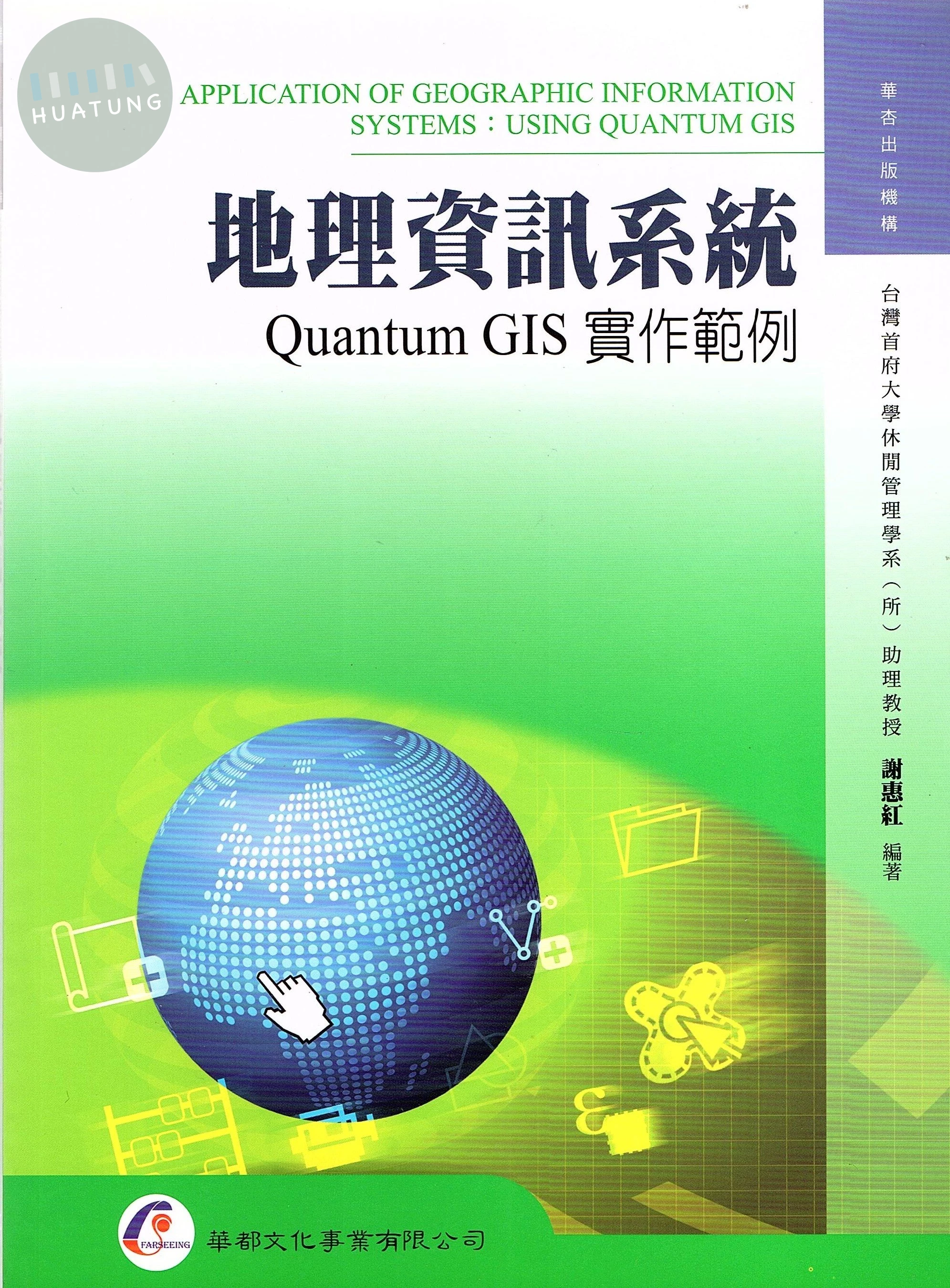
地理資訊系統:Quantum GIS實作範例 系列名:觀光總論 ISBN13:9789866090691 出版社:華都文化 作者:謝惠紅 裝訂/頁數:平裝/242頁 規格:38.2cm*26cm*1.3cm (高/寬/厚) 版次:1 出版日:2015/07/15 中國圖書分類:地理學 內容簡介 立即上手,世界帶著走 ‧國內第一本Quantum GIS(QGIS)實作範例專書。 ‧全書彩色印刷,內文敘述配合圖解步驟,按部就班呈現視覺化的本土地理資訊。 ‧QGIS應用範例,包括:村里人口統計;雨量資料圖(圓餅圖、直方圖、數值圖);地圖出圖設計;超商選址結合網路地圖;空氣品質分布之影像運算;地形分析;結合Google Earth之旅遊影音導覽;GPS在QGIS與Google Maps的應用;使用Tripline建置遊程地圖;製作觀光導覽地圖等。 ‧本書選用生活化的主題,讀者依循內容與章末學習焦點習題操作,定能輕鬆領略上手,增加圖資應用技能;同時創造獨一無二的旅遊規劃及遊程紀錄,並利用網路連結、社群網站與親朋好友分享。 ‧在數位化的時代,地理資訊如同一座世界寶庫,本書即是開啟的金鑰,引領讀者飽覽寰宇地貌。本書不僅適用於觀光休閒、資訊管理、地理、土地營建等相關科系,更推薦每位讀者作為隨身工具書。 目錄 Chapter 1 地理資訊系統概論 1.1 地理資訊系統的定義及組成 1.2 地理坐標與地圖投影 1.3 地理資訊系統的資料特性及資料格式 1.4 地理資訊系統的發展與資料來源 1.5 地理資訊系統應用軟體 1.6 地理資訊系統之應用 Chapter 2 Quantum GIS安裝與基本環境介紹 2.1 QGIS安裝 2.2 圖資下載 2.3 QGIS基本環境介紹 2.4 QGIS基礎設定及基本功能簡介 Chapter 3 圖例、符號設定與使用 3.1 單一顏色展示的設定 3.2 漸層著色 3.3 單一值顯示 3.4 點狀圖顯示 3.5 統計圖 3.6 標示欄位資訊 Chapter 4 空間資料建立及編修 4.1 新增圖層 4.2 編輯點圖層 4.3 編輯線圖層 4.4 編輯多邊形圖層 Chapter 5 屬性資料的編修與應用 5.1 建立圖層屬性資料 5.2 欄位計算與統計 5.3 多邊形面積、周長及線長度的計算 5.4 屬性資料表的連結 5.5 合併屬性相同的空間資料 Chapter 6 空間資料與屬性資料之查詢與使用 6.1 單筆空間資料查詢 6.2 多筆空間資料查詢 6.3 關鍵詞屬性資料查詢 6.4 邏輯運算式屬性資料查詢 Chapter 7 空間關係之查詢與使用 7.1 特定距離內標的物查詢 7.2 相鄰標的物的查詢 7.3 多邊形與點圖徵交集的查詢 7.4 多邊形圖徵與線圖徵交集的查詢 Chapter 8 資料統計與圖表製作 8.1 數值欄位統計值的製作 8.2 數值屬性資料圓餅圖製作 8.3 數值屬性資料直方圖製作 8.4 數值屬性資料數值圖製作 Chapter 9 地圖列印 9.1 地圖出圖設計 9.2 地圖出圖列印 Chapter 10 向量資料空間分析 10.1 環域分析 10.2 疊圖分析 Chapter 11 網格資料的使用 11.1 影像資料檢視 11.2 影像合併 11.3 影像資料裁切 11.4 影像運算 Chapter 12 地形分析 12.1 等高線圖 12.2 山影圖 12.3 坡向圖 12.4 坡度圖 12.5 坡度分類圖 Chapter 13 Google Earth簡介與應用 13.1 Google Earth基本環境與操作 13.2 Google Earth於觀光旅遊之應用 13.3 QGIS結合Google Earth於觀光旅遊之應用 Chapter 14 GIS與GPS的整合應用 14.1 GPS軌跡紀錄檔於Google Earth的操作與轉檔 14.2 於QGIS編輯GPS紀錄 14.3 於Google Maps載入GPS軌跡紀錄檔之應用 Chapter 15 遊程規劃 15.1 遊程建置 15.2 遊程規劃路線分享 Chapter 16 QGIS實務案例簡介:觀光導覽地圖實作 16.1 景點製作 16.2 景點資訊 16.3 轉成影像檔 參考文獻

類似書籍推薦給您
【簡介】 Description Fully updated edition covering the latest technological advances in this evolving field New chapter on laser scanning (LIDAR) systems and new material on the integration of GPS and INS and their use in direct georeferencing of images Covers up-to-date imaging systems (large format digital cameras), measuring systems, and modern photogrammetric products The definitive guide to photogrammetry--fully updated Thoroughly revised to cover the latest technological advances in the field, Elements of Photogrammetry with Applications in GIS, Fourth Edition, provides complete details on the foundational principles of photogrammetry as well as important advanced concepts. Significant changes in the instruments and procedures used in modern photogrammetry, including laser scanning, are discussed. Example problems clarify computational procedures and extensive photographs and diagrams illustrate the material presented in this comprehensive resource. Coverage includes: Principles of photography and imaging Cameras and other imaging devices Image measurements and refinements Object space coordinate systems Vertical photographs Stereoscopic viewing Stereoscopic parallax Stereoscopic plotting instruments Laser scanning systems Elementary methods of planimetric mapping for GIS Titled and oblique photographs Introduction to analytical photogrammetry Topographic mapping and spatial data collection Fundamental principles of digital image processing Photogrammetric applications in GIS Control for aerial photogrammetry Aerotriangulation Project planning Terrestrial and close-range photogrammetry 【目錄】 Table of Contents 1. Introduction 2. Principles of Photography and Imaging 3. Cameras and Other Imaging Devices 4. Image Measurements and Refinements 5. Object Space Coordinate Systems 6. Vertical Photographs 7. Stereoscopic Viewing 8. Stereoscopic Parallax 9. Elementary Methods of Planimetric Mapping for GIS 10. Tilted Photographs and Perspective Geometry 11. Introduction to Analytical Photogrammetry 12. Stereoscopic Plotting Instruments 13. Topographic Mapping and Spatial Data Collection 14. Elevated Data Collection by Laser Scanning Systems 15. Fundamental Principles of Digital Image Processing 16. Control for Aerial Photogrammetric Projects 17. Aerotriangulation 18. Project Planning 19. Terrestrial and Close-Range Photogrammetry 20. Introduction to GIS 21. Photogrammetric Applications in GIS Appendix A. Units, Errors, Significant Figures and Error Propagation Appendix B. Introduction to Least Square Adjustment Appendix C. Coordinate Transformations Appendix D. Development of Collinearity and Coplanarity Condition Equations Appendix E. Digital Resampling Appendix F. Conversions between Object Space Coordinate Systems
 資訊
資訊
 工程
工程
 數學與統計學
 機率與統計
機率與統計
 自然科學
自然科學
 健康科學
健康科學
 地球與環境
地球與環境
 建築、設計與藝術
 人文與社會科學
 教育
教育
 語言學習與考試
 法律
法律
 會計與財務
會計與財務
 大眾傳播
大眾傳播
 觀光與休閒餐旅
 考試用書
考試用書
 研究方法
研究方法
 商業與管理
商業與管理
 經濟學
經濟學
 心理學
心理學
 生活
生活
 生活風格商品
 參考書/測驗卷/輔材